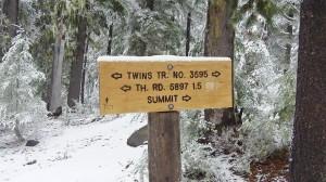
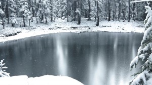
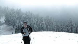
My Friend Bruce and I decided to do a late fall camping trip at Waldo Lake in the Oregon Cascades. There are a several peaks that qualify for SOTA; “The Twins” W7O/CM-o13 was closest and had a trail to the summit. This peak is 7360′ in elevation. It has a smaller, false summit that is several hundred feet shorter.
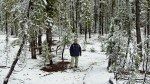
We camped in the public campgrounds around Waldo Lake and left about 10am Monday morning. It snowed lightly the night before and was pretty cold. Temperatures were no higher than 32F at that time.
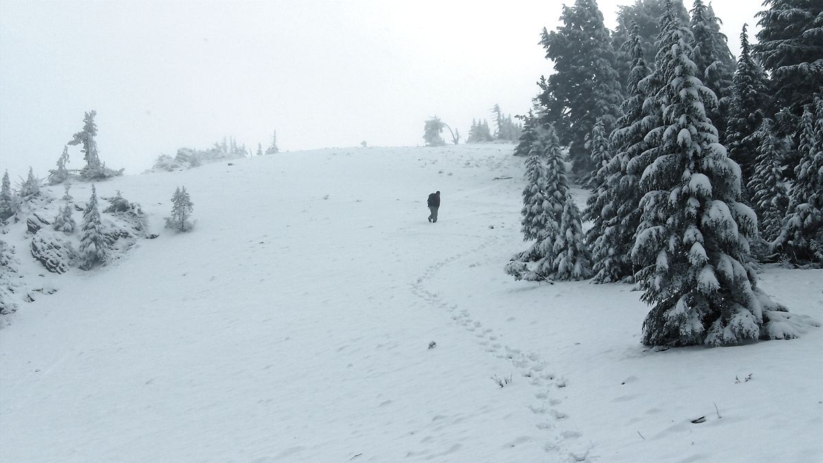
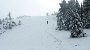
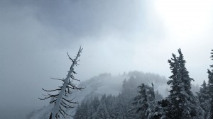 It took us until about 1pm to reach the false summit. At that point there was 2-3 inches of snow on the ground. We lost the trail at this point and debated turning around.
We pushed ahead and bushwhacked our way around the rim, through the exposed snowfield leading up to the summit. At this point visibility dropped to a few hundred yards. There was 4-5 inches of snow on the summit.
We found a sheltered spot on the summit that shield us from the 20+ mph winds. Bruce and I assembled the Buddipole in a 20m vertical configuration. Bruce bravely volunteered to hold it. This was my first trip in the field with my KX3. I lugged a 10ah LiFePO4 battery along. I ran the KX3 at 10 watts power output. The noise on 20m was relatively low at S2-S3. We could hear a lot of stations, but had a hard time getting the signal out. We managed three contacts on 20m before the temperature started dropping.
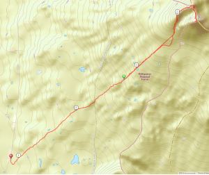
About 1400 the temperatures got cold enough I lost dexterity in my hands we decided to pack it up and start out descent. We spent about an hour on the summit and saw at least an inch of snow accumulation. We took our time coming down and warmed up a bit. Overall this was a seven mile hike with about 1700 feet of elevation gain.
| KL7HM | AZ |
| AL4Y | AK |
| W0RW | Pike’s Peak, CO |

